
Case Study
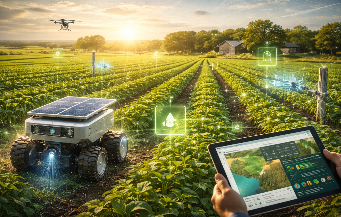
Smart Farm:
Water & Resource
Intelligence
Autonomous sensor robots and a cloud AI platform that turn field data into measurable savings — eliminating water waste, predicting crop risks, and reducing manual labour by over 80%.
Farm decisions were too manual, too late, and too fragmented
Large-scale agricultural operations face a persistent visibility problem. Field checks are periodic and manual — by the time stress or disease is detected, significant losses have already occurred. Fixed sensor arrays are prohibitively expensive at scale, and data, where it exists, is disconnected from action.
Delayed Detection
Manual periodic checks meant plant stress and disease were caught only after costly damage had occurred — too late to act effectively.
Water Waste at Scale
Fixed irrigation schedules ignored actual soil conditions, causing overwatering in some zones and stress-inducing dry periods in others.
Coverage Gaps
Fixed sensors provided only narrow point coverage. Large field areas remained completely unmonitored between inspection rounds.
No ROI Visibility
Growers lacked data to compare crop suitability, forecast yield risk, or make confident pre-planting economic decisions.
The gap: The market has manual services, fixed sensors and periodic drone checks — but not one compact system that continuously measures, predicts and guides decisions.
A mobile measurement system — not just a photo robot
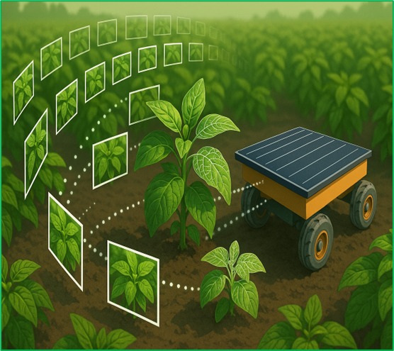
Hidden Wonders deploys autonomous sensor robots and a cloud AI intelligence platform across the farm. The robot moves through the field collecting real readings at many geotagged points, transmitting continuously to the AI dashboard — building a spatial field map that enables irrigation decisions, early plant protection, and crop ROI planning.
Autonomous Field Robots
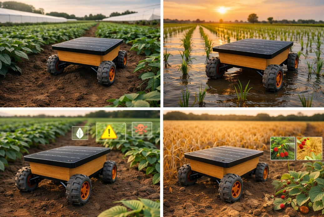
Solar-powered units move through the site autonomously, sampling conditions at many points. No fixed infrastructure required — works in remote and low-connectivity sites.
Cloud AI Platform
All field data streams to the cloud where AI combines sensor readings, vision data and history to detect stress patterns and predict issues before visible damage.
Smart Irrigation Control
AI-driven irrigation scheduling adjusts zone-by-zone based on real soil moisture and weather data — eliminating schedule-based water waste permanently.
Crop ROI Intelligence
A decision layer shows which zones suit specific crops, expected yields, intervention priorities ranked by financial impact, and pre-planting economics.
Integrated hardware, connectivity and AI
Every component in the Hidden Wonders stack is chosen to work in real agricultural conditions — solar-powered, remote-capable, and designed for growers, not data scientists.
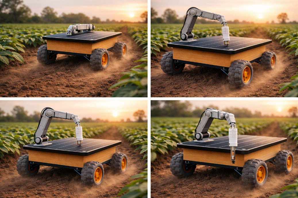
Solar-powered field units with multi-sensor payloads. Moves through the site sampling at multiple geotagged points per route with no fixed infrastructure required.
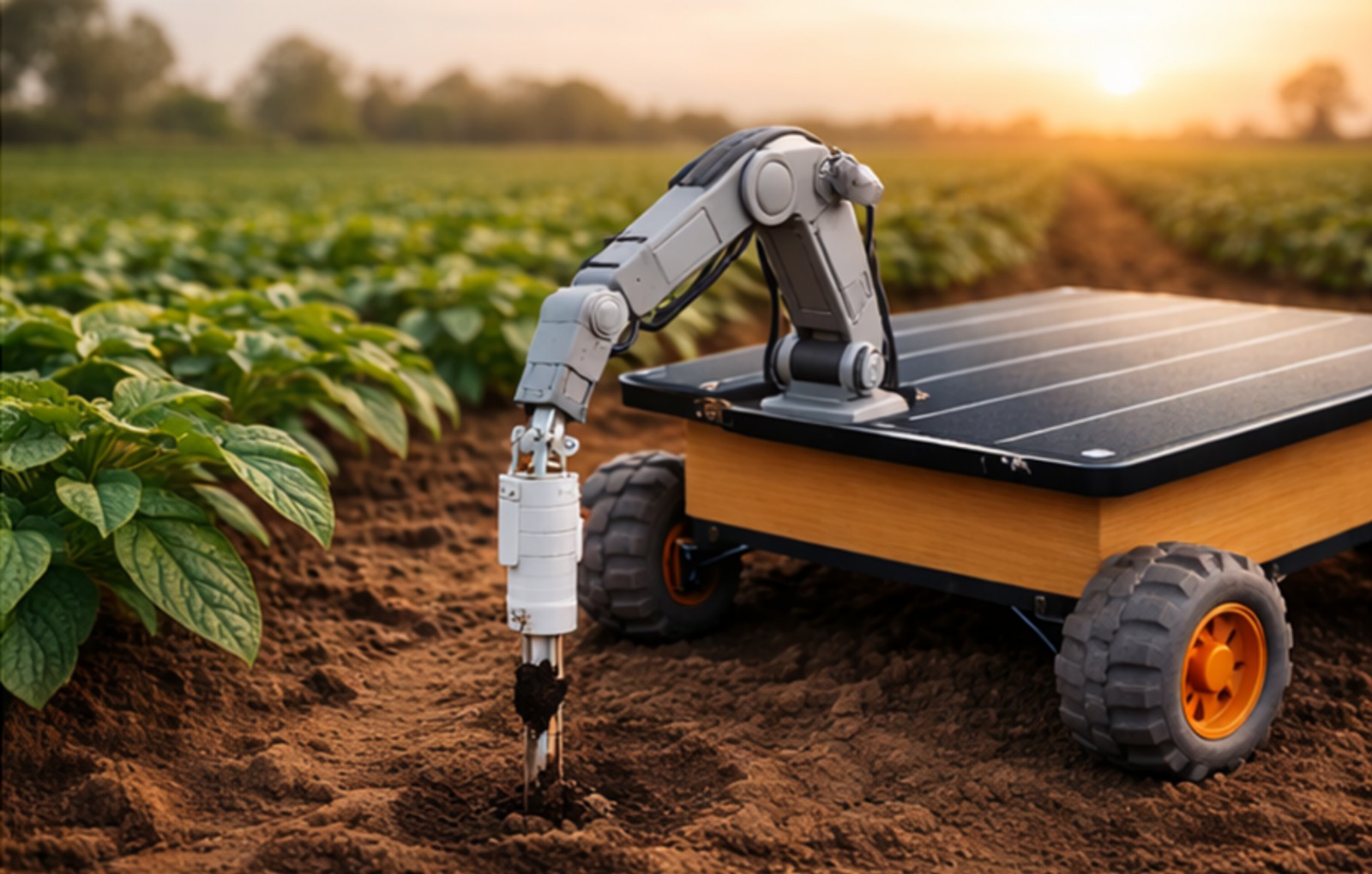
Real-time subsurface readings at multiple field depths, feeding directly into the irrigation control engine to prevent both overwatering and stress-inducing dry periods.
On-site monitoring of temperature, humidity, wind and light — combined with forecast integration to predict field conditions and trigger proactive actions.
A live spatial field map showing geotagged conditions across every zone. See weak areas, moisture anomalies and heat stress zones on a real-time layout — not a table of numbers.
Integration with existing irrigation infrastructure allows the AI to trigger or adjust watering zone by zone, eliminating fixed-schedule waste.
Trained on field history, the AI detects early stress signatures, models water requirements by zone, predicts yield risks and ranks interventions by financial impact. ESG output auto-generated.
Measure → Predict → Decide → Act → Improve
Hidden Wonders turns continuous field data into a closed loop of better plant care and better business outcomes — with value appearing from day one.
Measure
The robot moves through the field on scheduled routes, recording soil moisture, temperature, humidity, CO₂, light, leaf condition and GPS coordinates at many points.
Send & Map
All readings are transmitted to the cloud with location and timestamp, building a growing spatial map of the field that improves with every route.
Predict
AI identifies stress patterns, abnormal moisture trends and high-risk zones before visible damage — typically detecting issues 2–7 days earlier than manual rounds.
Decide
The dashboard presents crop fit scores, priority action lists, yield economics and next-best interventions — ranked by financial impact so teams act where it matters most.
Act
Teams irrigate accurately, apply plant protection early, replant or reroute resources with evidence — logging every action against the field record for future learning.
Improve
Historical data strengthens crop planning, resource allocation and intervention timing — each season delivering more accurate predictions and stronger ROI.
What the system measures
Spatial Intelligence
One robot builds a complete field map — not a one-point reading. Every route adds more data points, improving prediction accuracy season over season.
One robot collects many readings across the field, building a spatial data map instead of a single-point snapshot. Core readings on every route; optional sensors for specialist crops.
Instead of placing many scattered expensive sensors, one robot moves, samples, geotags and builds a richer operational picture. Farmers can compare zones, identify weak areas and intervene faster — with historical data that improves every season.
Results start on day one — not end of season
Different layers of value appear at different speeds. Operators see baseline field data immediately; the full ROI optimization compounds over a full season of learning.
Readings arrive. Teams see weak zones, abnormal moisture, lighting gaps and site conditions for the first time.
AI begins spotting repeated stress patterns, inconsistent conditions and operational issues during pilot cycles.
Teams refine irrigation, maintenance and planting choices based on actual measurements and trend comparisons.
Historical data supports stronger crop planning, resource allocation and better return visibility season over season.
Measurable outcomes — not indicative projections
Every result below comes from deployed pilot data and early validation across real agricultural sites — not modelled estimates.
ESG & Sustainability Reporting
All resource savings — water consumption, fuel reduction, and carbon-equivalent impact — are automatically tracked and formatted for ESG disclosures, sustainability certificates, and government reporting requirements. Evidence-based data replaces estimated figures.
Indicative ROI Window
1.5–2 Years
Indicative payback window based on pilot deployment data and water/labour savings.
Lower Inspection Effort
85% fewer manual field rounds — crews are deployed only where the AI identifies priority action needed.
Up to 40% Uplift
Better water and resource allocation combined with earlier plant protection drives measurable yield improvement.
Stronger Crop Decisions
Crop fit scores and zone suitability data allow pre-planting decisions backed by actual field evidence, not guesswork.
Ready to see verified resource savings on your farm?
Give us access to two comparable field zones and we'll show you measurable impact within weeks — no permanent infrastructure, no disruption, just data-driven results.